11 hours
Remotely Sensed Information for Crop Monitoring and Food Security - Techniques and methods for arid and semi-arid areas
Agriculture & Food Security
English
Delivery Modality
Offline
Theme
Hazard-specific DRR/DRM
Drought
Risk Information
Climate and Disaster Risk Assessment
Early Warning Systems
Satellite Imagery, GIS, and Remote Sensing Applications
Screening & Surveillance Systems
Audience
Civil Society & Community-Based Organizations
Field Level Professionals
Sectoral Ministries
Agencies
FAO
Certification
No
Last Updated
Nov-14
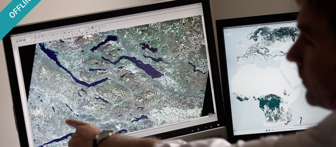
This course describes how the information derived from remote sensing is obtained and best used for crop monitoring in a food security context. It outlines what the exact meanings of the products are and shows how their early warning and food availability information contents can be combined efficiently with other sources (e.g. households surveys, market analyses, nutritional surveys, etc.).
This course has been developed as part of the EU-FAO Programme on "Improved Global Governance for Hunger Reduction" and the technical contents have been provided by the Joint Research Centre of the European Commission.
You will learn about
- Data sources and products used for remote sensing analysis of crop monitoring
- Calculation and evaluation of anomalies derived from rainfall and Normalized Difference Vegetation Index (NDVI)
- Production of seasonal graphs for rainfall and NDVI
- Phenological stages in the over-time analysis of crop conditions
- Creating, maintaining and archiving remote sensing images
- Most common software for processing remote sensing data

